
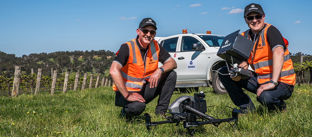


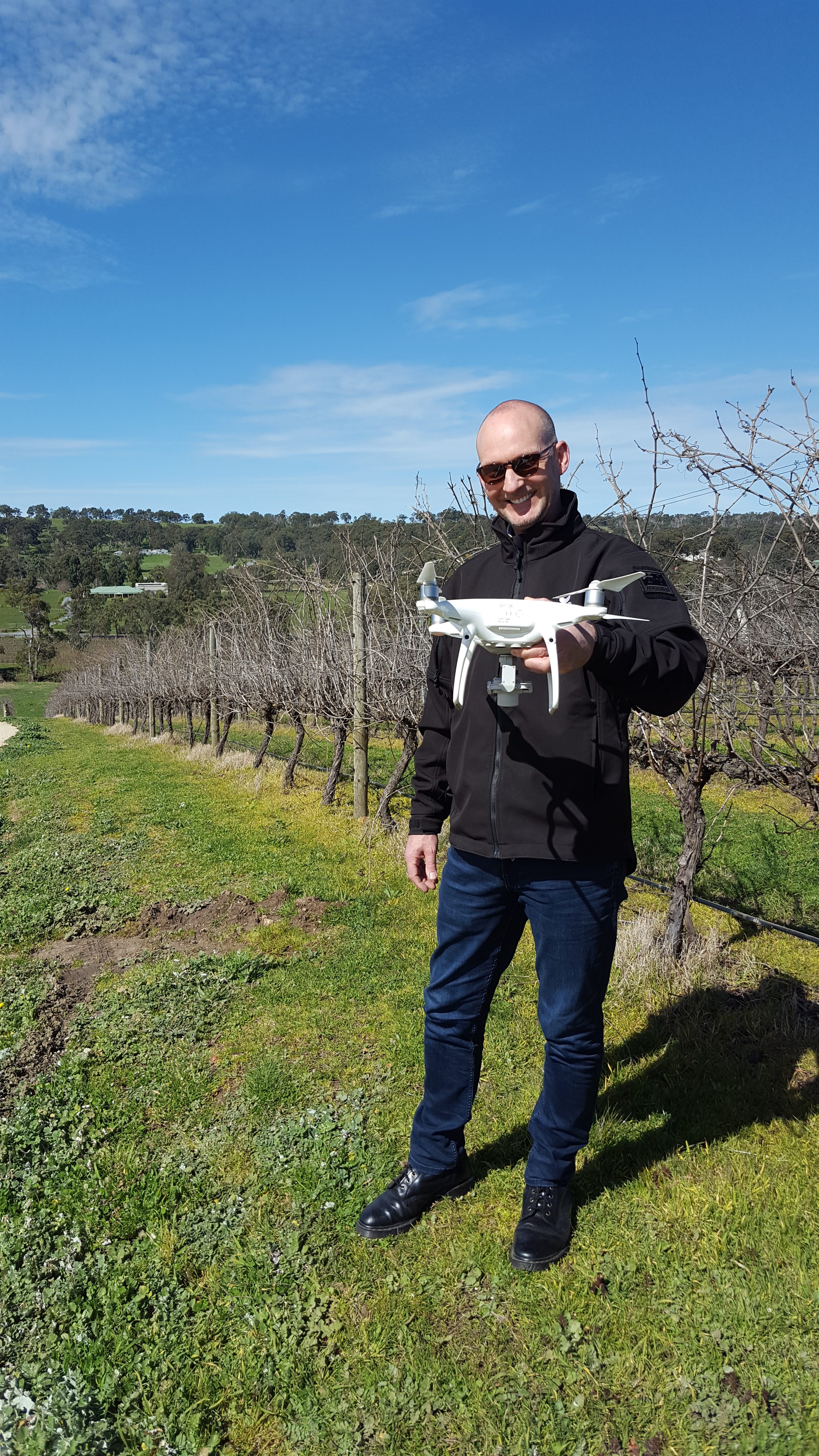
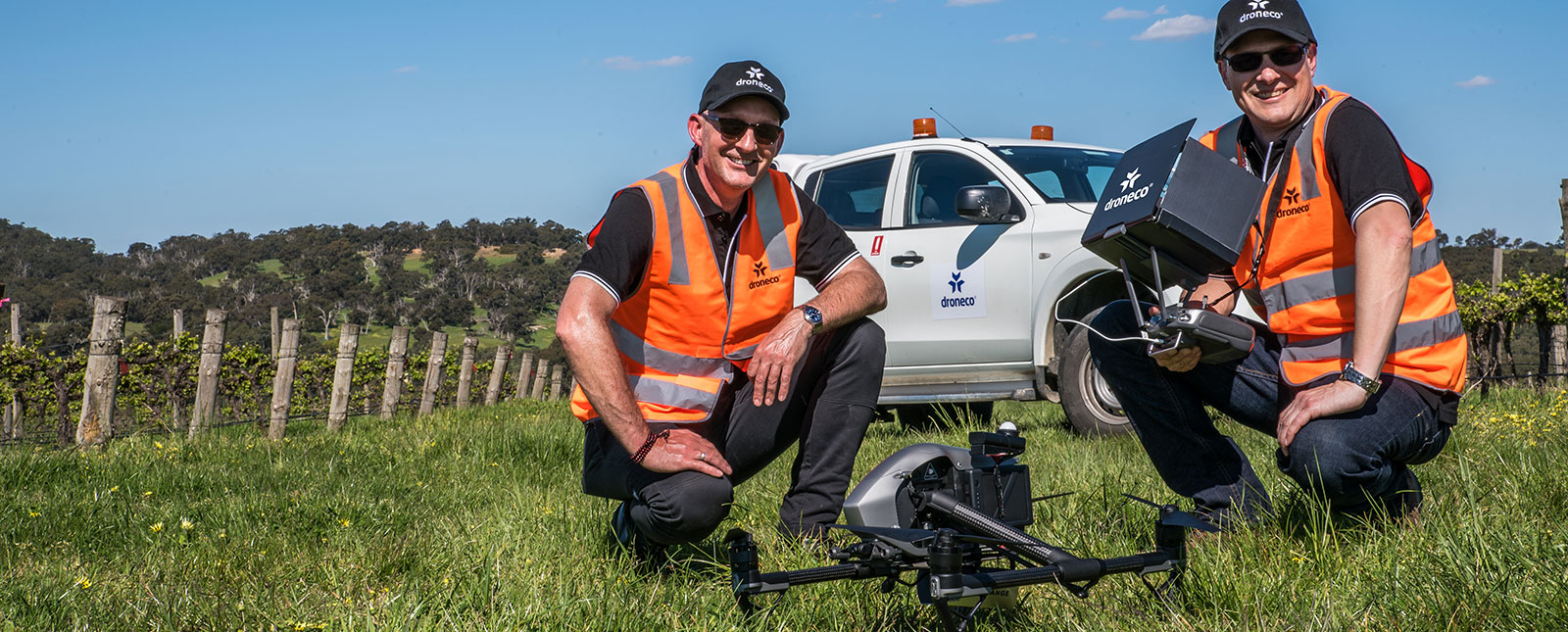
Day Spent With the Wonderful People From Tomich Wines Using The Slant Range
What Drones Can Do for Vineyards
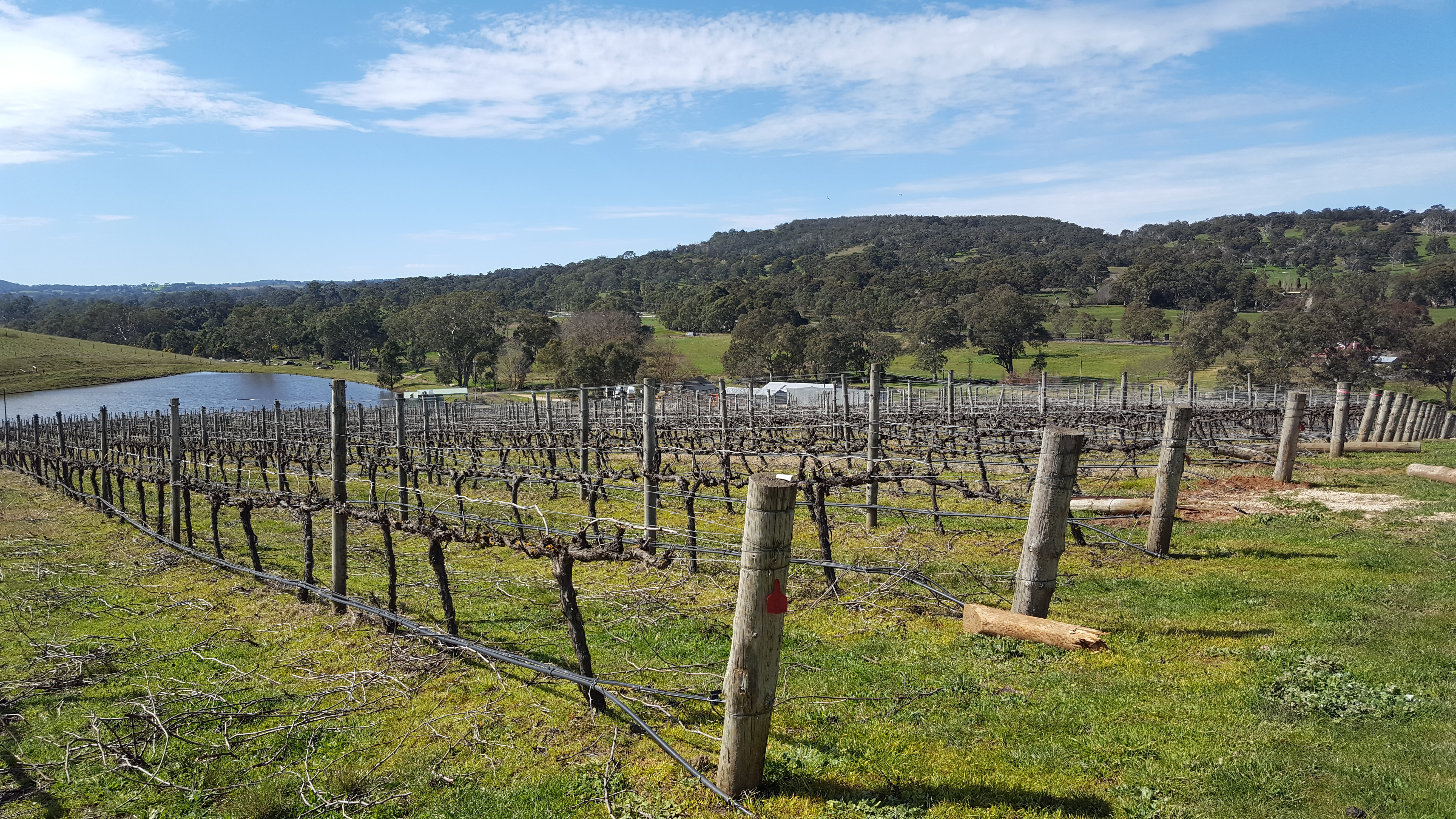
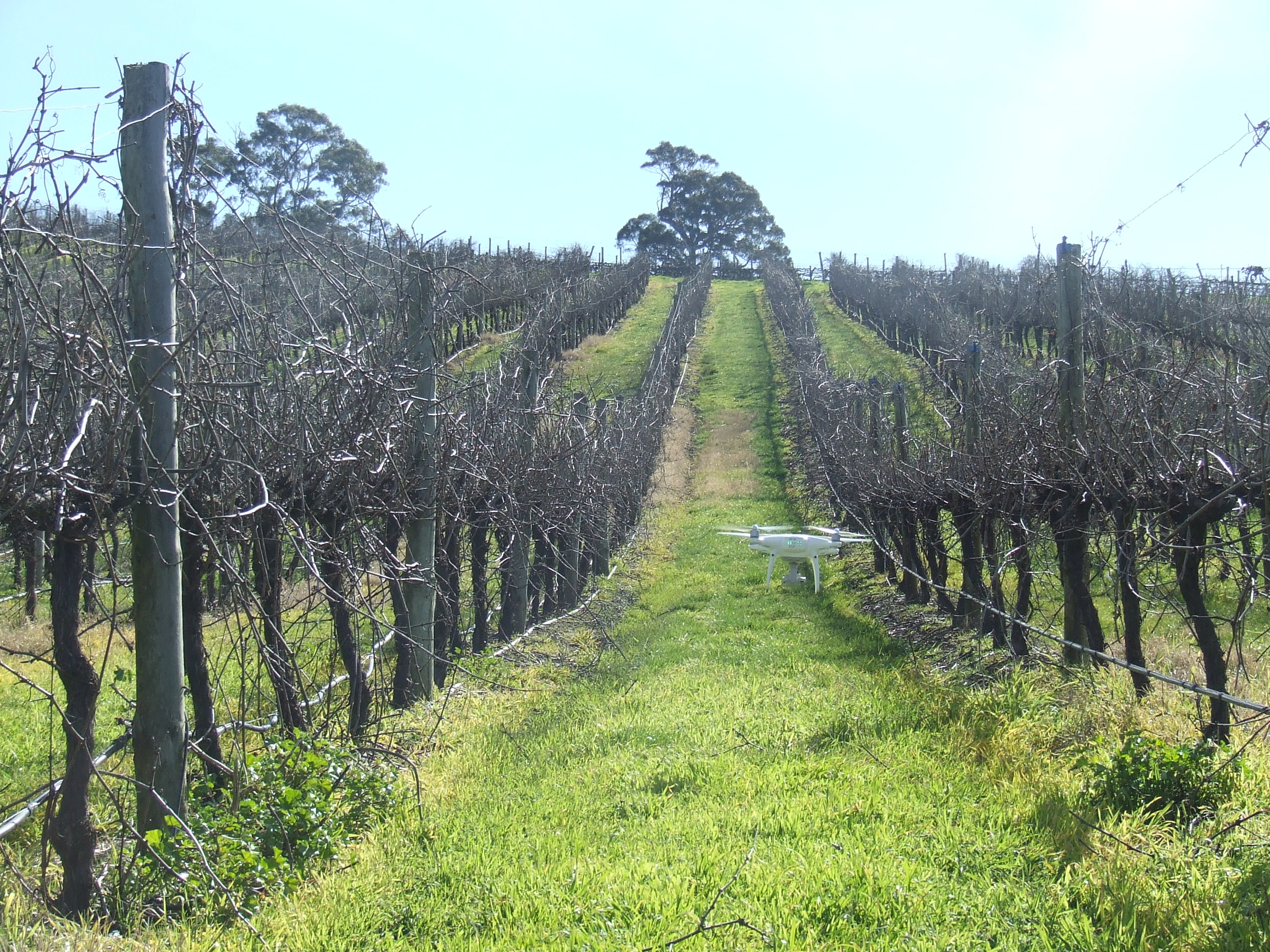
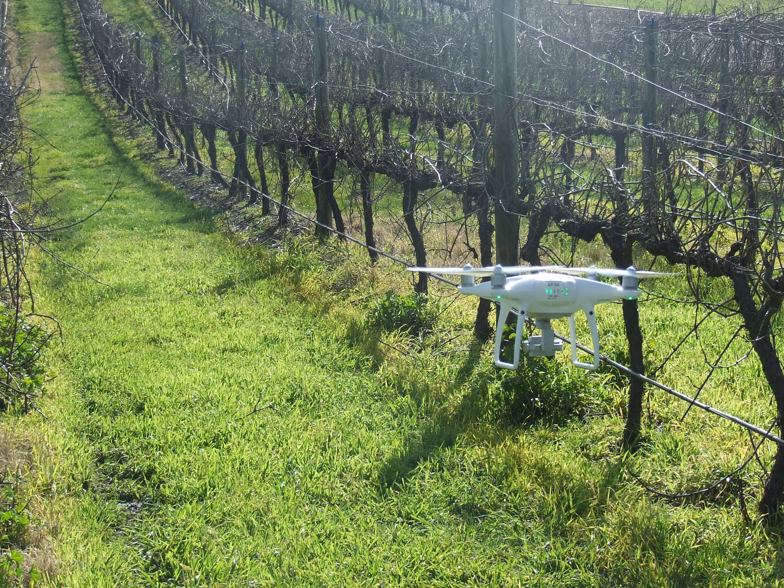
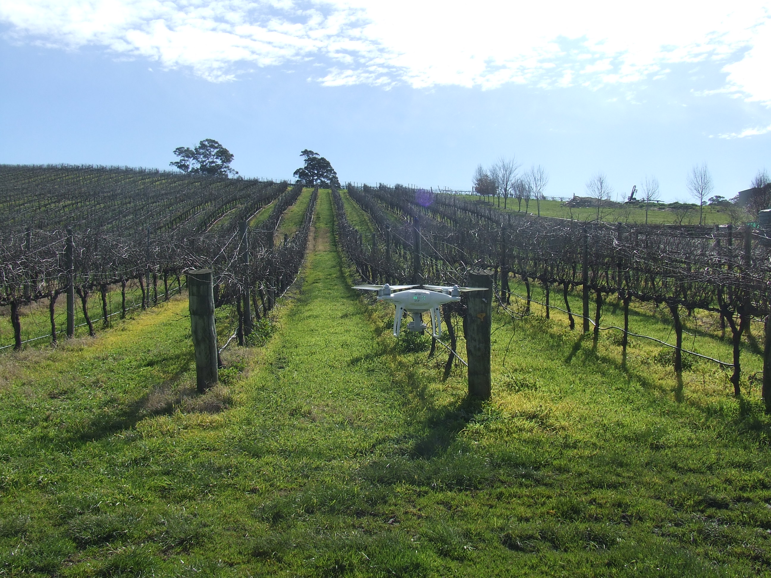
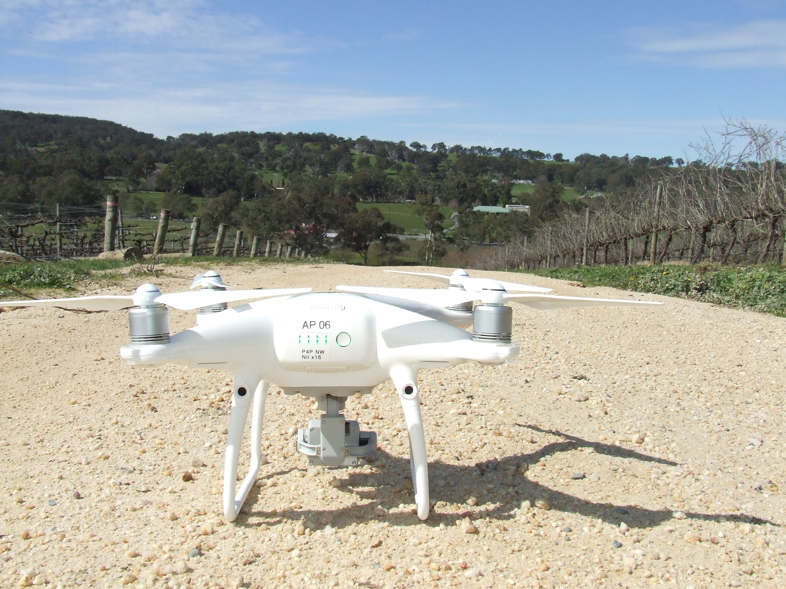
It’s impossible for farmers to keep an eye on thousands of acres of crops every day, which is what makes drone technology so attractive for vineyards. Drones can help determine the quality of grapes being grown and provide estimates of how many grapes will be produced in the next harvest.
Overall, drones can help give vineyard owners a clearer picture of what is happening in the vineyard. For example, they may be able to pinpoint zones where vigor is higher than desired to remove those zones from a fertilizer program. This is useful because if a vine’s growth is too vigorous, it can create a dense canopy that prevents sun exposure and ripening of the grapes. Vineyard owners can also monitor water saturation and pest damage to know where to spray insecticides with drone technology. Some vineyards have used tanks strapped to the sides of drones to spray their vineyards for diseases.
Mapping & Surveying (The Key )
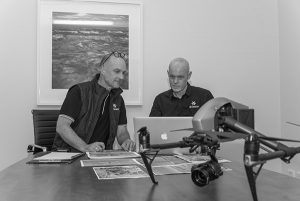
As a service provider we supply our customers with a product that meets or exceed their requirements. As we are delivering service to many industries and fields the requirements will vary but the the core to mapping and surveying remains the same with the one constant which is the key, ACCURACY
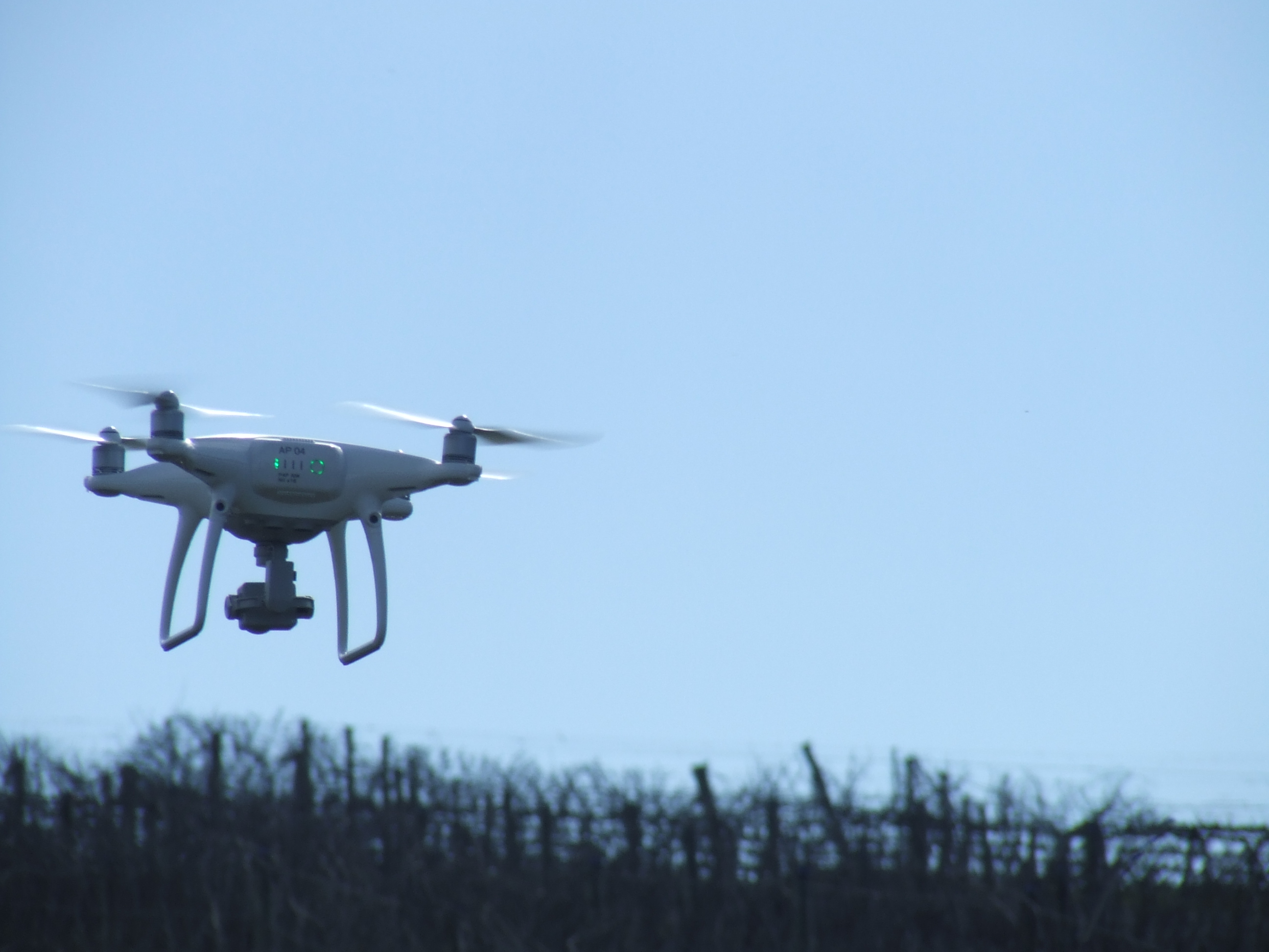
NDVI & Multi Spectrum Cameras that gather data that can be used to improve plant production
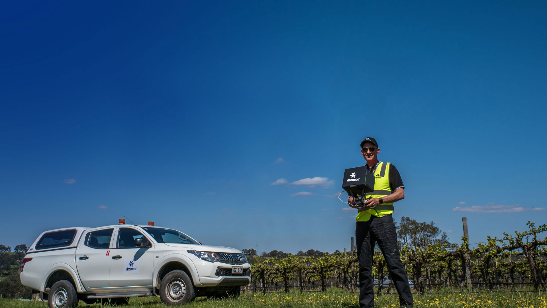
Viticulture Industry
Photogrammetry
Surveying
Mapping
Please Feel Free to call and discuss your Viticulture Needs
Phone: 1300 926 990