
")


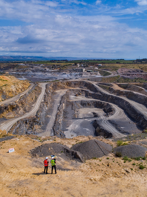
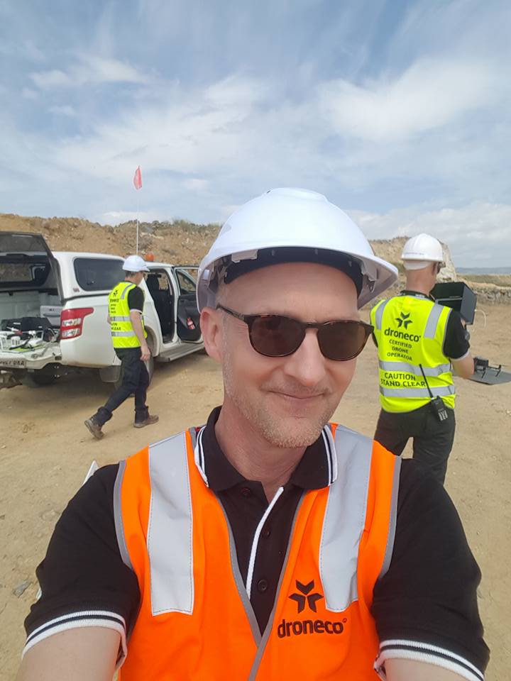
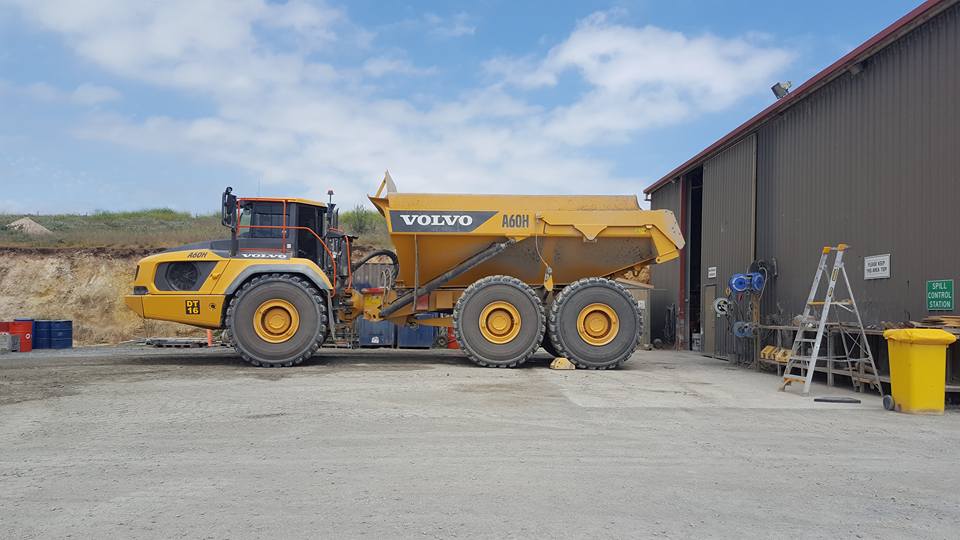
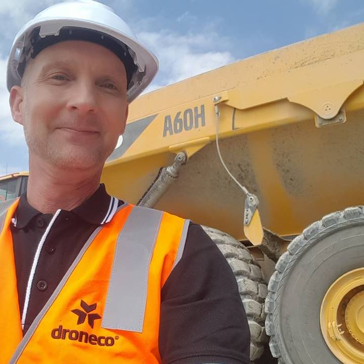
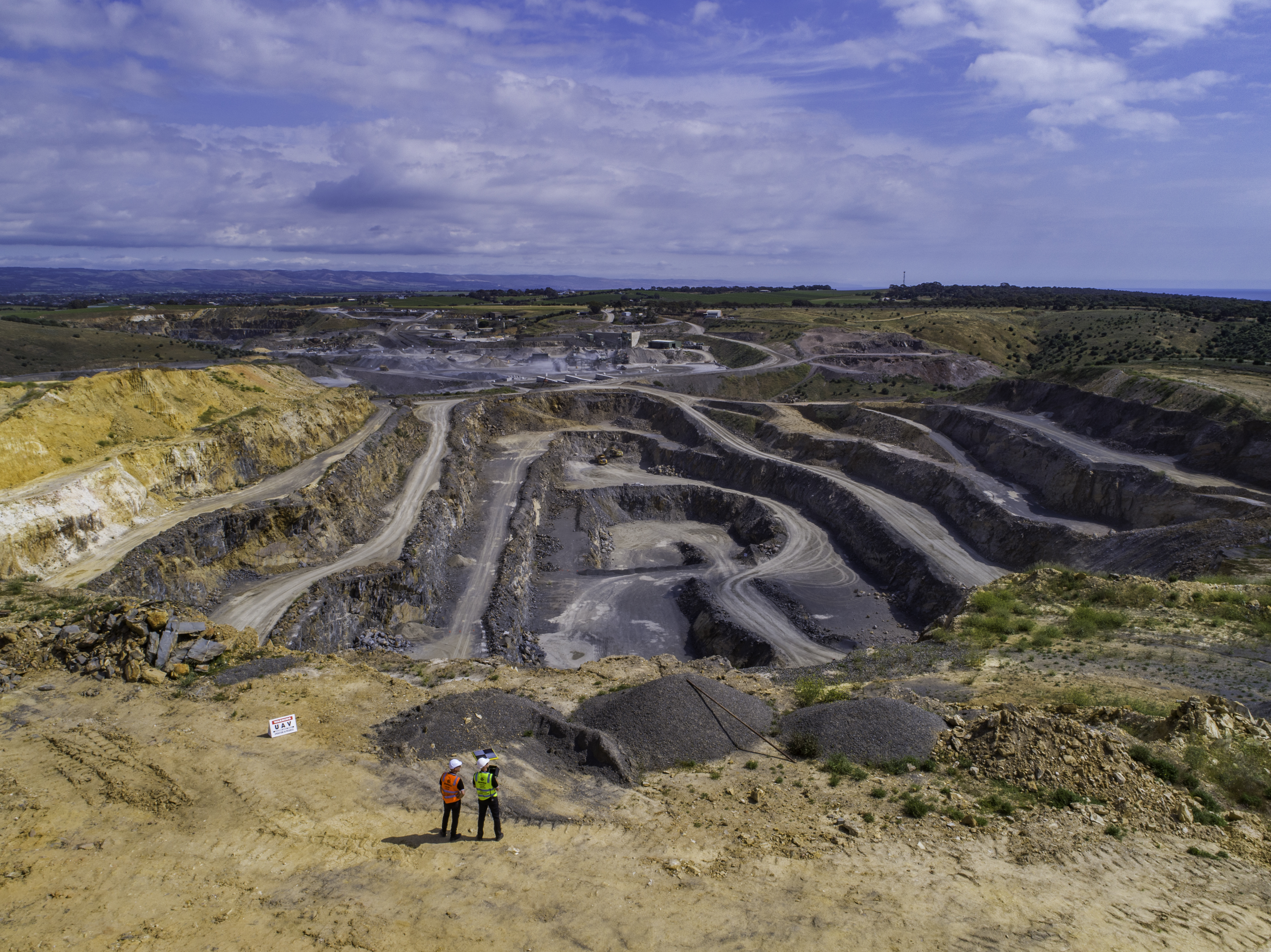
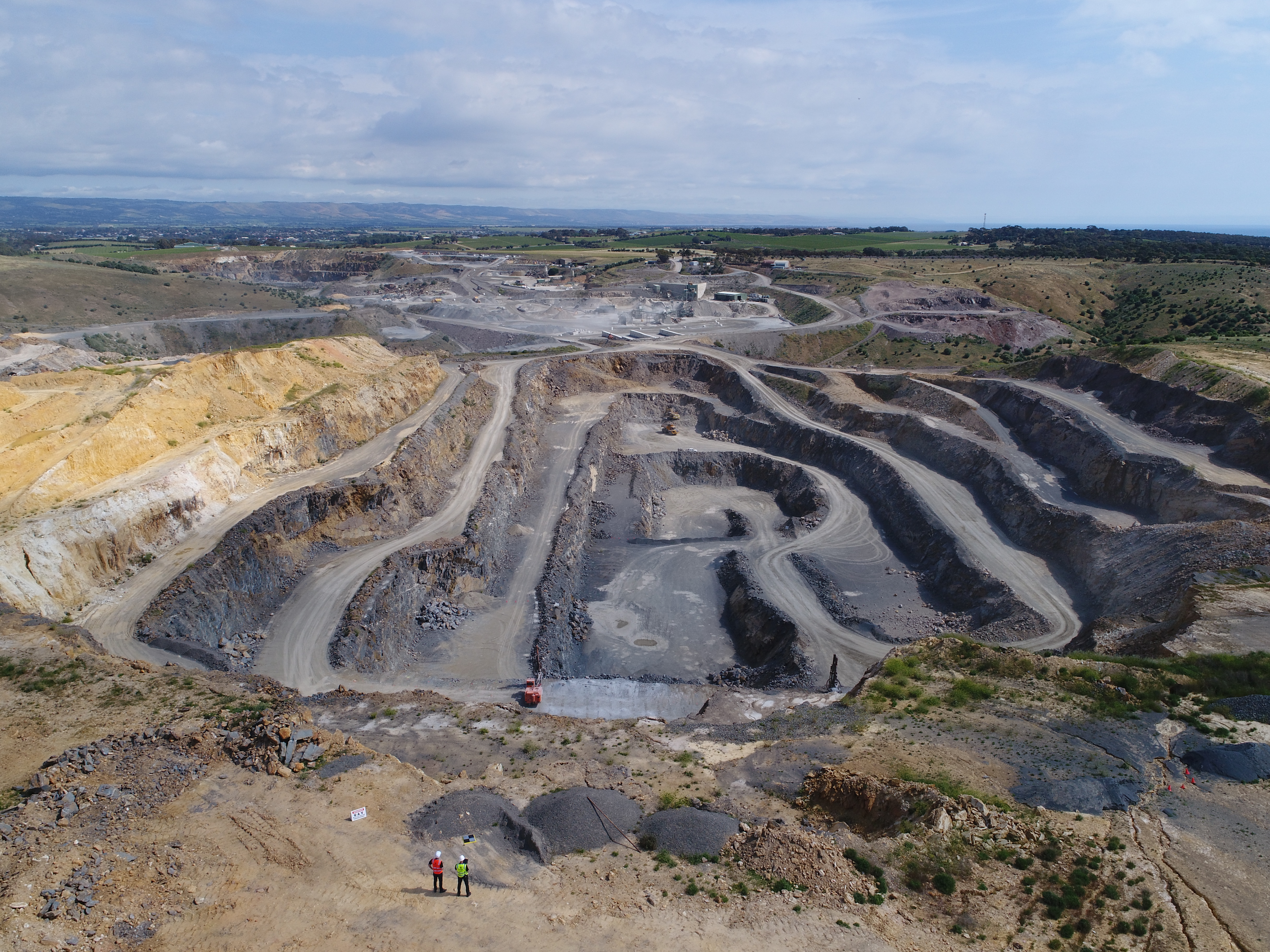
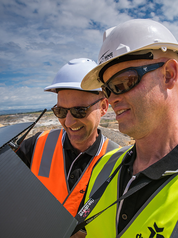
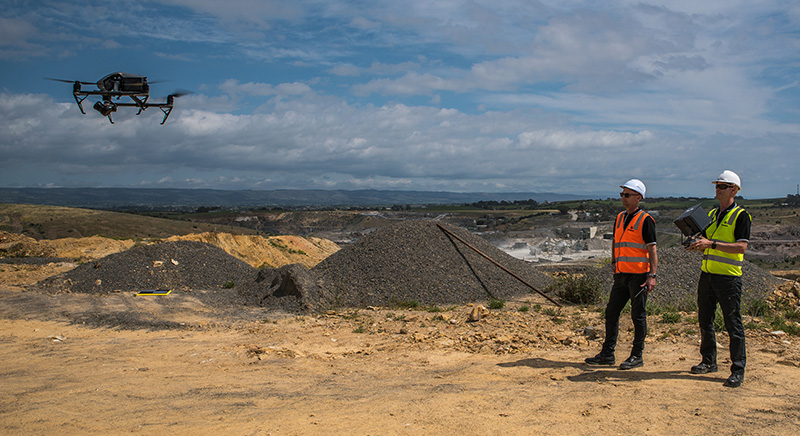
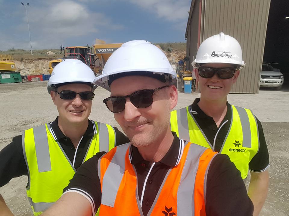
Day spent with McLaren Quarries Surveying and Mapping Mining Site using Aero Points
LAND SURVEYING & MAPPING
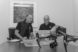
We use a combination of ground and aerial technology to conduct accurate land and building subdivision surveys, reestablishment surveys, 2D maps and 3D laser scans. Allowing clients to view and measure site dimensions or assets, geo-referenced maps, digital terrain models and volumetric surveys.
From our surveys, you can accurately take measurements, calculate area or volumes and plan a project at each phase using the data we provide in a fraction of the time and cost of more traditional methods.
This is a great way of guaranteeing accuracy.
Please Feel Free to call and discuss your Land Surveying and Mapping Needs
Phone: 1300 926 990
