


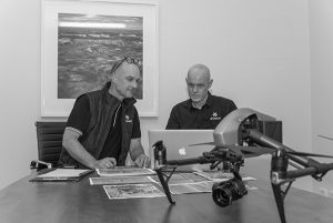
What Drones Can Do for Citrus Orchards
Unpredictable weather conditions and the effects of climate change are causing orchards to look to technology to solve their biggest problems. Interestingly, one of the most promising technological solutions that has emerged for citrus growers today is drones.
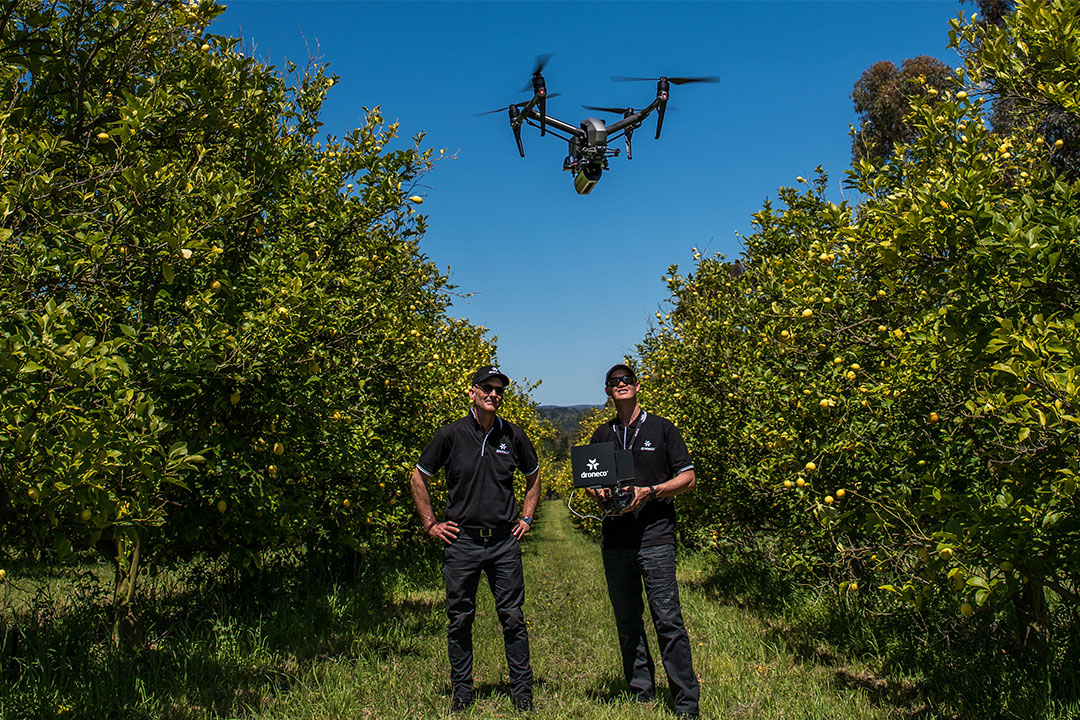
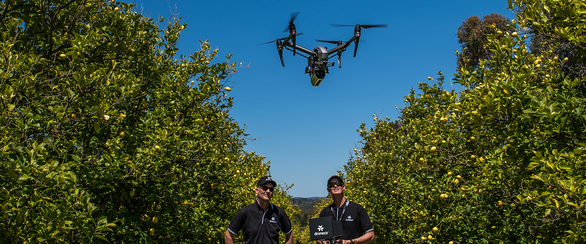
It’s impossible for farmers to keep an eye on thousands of acres of crops every day, which is what makes drone technology so attractive for Orchards. Drones can help determine the quality of Lemons being grown and provide estimates of how many lemons will be produced in the next harvest.
It’s impossible for farmers to keep an eye on thousands of acres of crops every day, which is what makes drone technology so attractive for citrus growers . Drones can help determine the quality of citrus being grown and provide estimates of how many lemons will be produced in the next harvest.
Overall, drones can help give orchard owners a clearer picture of what is happening in the groves . For example, they may be able to pinpoint zones where vigor is higher than desired to remove those zones from a fertiliser program. This is useful because if a citrus tree growth is too vigorous, it can create a dense canopy that prevents sun exposure and ripening of the lemons . Orchard owners can also monitor water saturation and pest damage to know where to spray insecticides with drone technology. Some growers have used tanks strapped to the sides of drones to spray their orchards for diseases.
Market Need
Accurate measures of plant population statistics at emergence are valuable to
- Growers to locate nutrient or planting problems and to support replant decisions
- Insurers to baseline policies
- Forecaster to baseline models
Slant-range delivers information heretofore unavailable. 100% field coverage map of plant density delivered on site
Eliminated need for manual plant counting
Please Feel Free to call and discuss your Agriculture Needs
Phone: 1300 926 990